Abandoned Communities ..... Shropshire
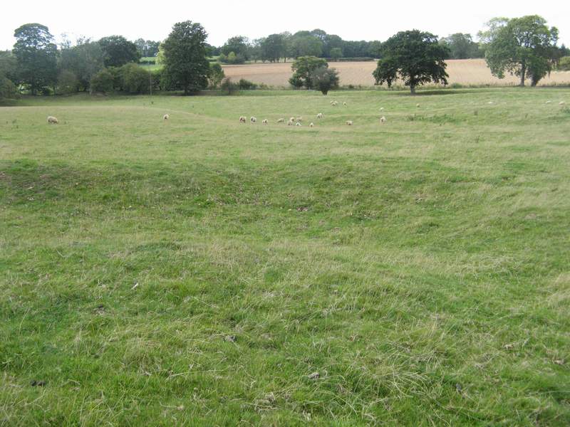
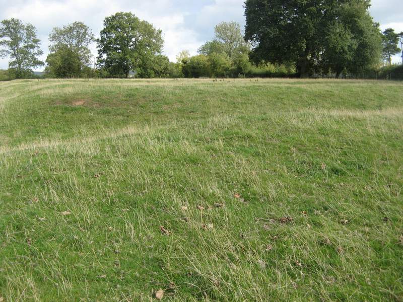
The village of Heath lay about two miles north of Cold Weston. In 1327 it had seven taxable families, but Trevor Rowley has argued that the extent of the earthworks indicates a larger population before that date. It was probably created during the eleventh and twelfth centuries at a time of expanding population and a tendency towards warmer temperatures. Settlers would have cleared the local scrub and woodland to build their houses and establish fields to grow crops.
T Rowley, The Shropshire Landscape, Hodder and Stoughton 1972.
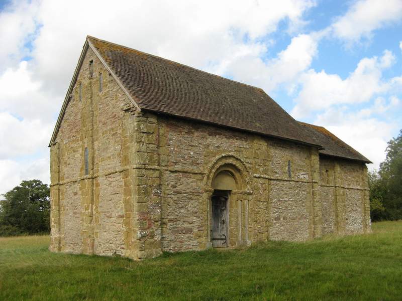
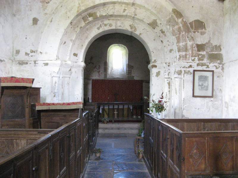
A church, still standing as an isolated building in a field, was built during the second quarter of the twelfth century. If you visit the church you are strongly advised to make use of the excellent guide produced by Peter Klein in 1990. The guide will direct you to the most interesting original Norman features, it will enable you to find several banker-marks left by the stone masons, and it will arouse your curiosity in regard to the traces of mural paintings partially revealed behind the lime wash on the walls. The church was subordinate to the parish church at Stoke St Milborough. Regular services would have been held there, but not special events such as marriages and funerals.
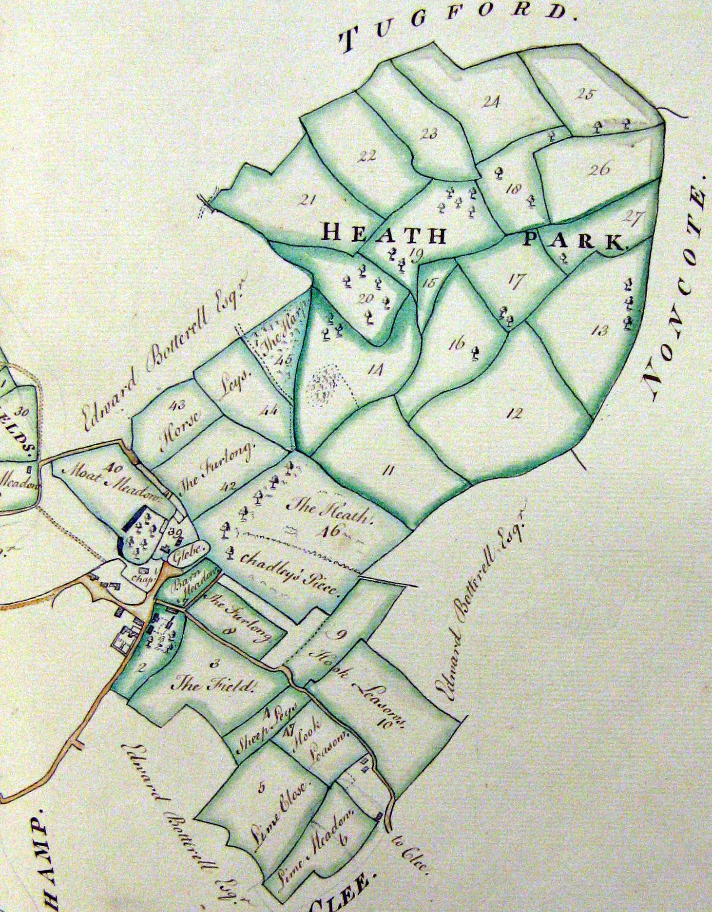
Immediately to the north of the church a large moated area is visible. It probably contained the main house in the village. A small area a short distance to the east is described as glebe land in an estate plan of 1771 and also had the name of Priest's Yard. The priest may have had a house there.
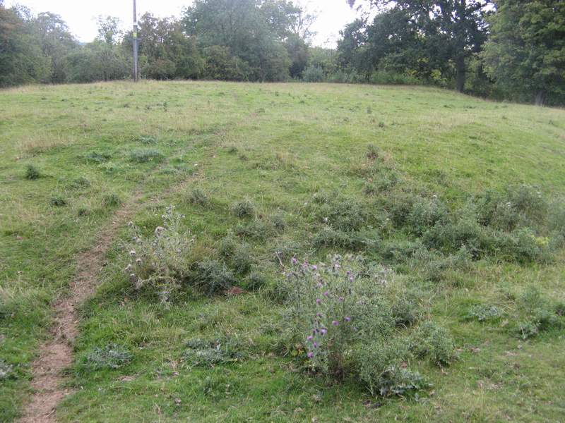
At the lower end of the field containing the main earthworks of Heath village the remains of a large dammed area can be seen. It may well have been one of the fishponds valued at one mark in a document of 1241. According to Trevor Rowley it used to be possible to see the ridge and furrow of medieval arable fields in the area marked Wynet Fields on the1771 plan, but I failed to find it on my visit in September 2011.
It seems that the abandonment of Heath village took place very gradually over a period of several centuries. It may have begun during the medieval period, when there was a general tendency for people to leave small villages and establish more scattered farmsteads. But it was not complete until the early nineteenth century. The estate plan of 1771 shows buildings, presumably including houses, on the plots numbered 2 and 39, but they disappeared within the next generation or two.
The splendid estate plan of 1771, produced when the land was owned by Lord Craven, can be seen at Shropshire Archives. It is Map X in a volume with reference number 6001/2481.
T Rowley, The Shropshire Landscape, Hodder and Stoughton 1972.
A church, still standing as an isolated building in a field, was built during the second quarter of the twelfth century. If you visit the church you are strongly advised to make use of the excellent guide produced by Peter Klein in 1990. The guide will direct you to the most interesting original Norman features, it will enable you to find several banker-
Immediately to the north of the church a large moated area is visible. It probably contained the main house in the village. A small area a short distance to the east is described as glebe land in an estate plan of 1771 and also had the name of Priest's Yard. The priest may have had a house there.
At the lower end of the field containing the main earthworks of Heath village the remains of a large dammed area can be seen. It may well have been one of the fishponds valued at one mark in a document of 1241. According to Trevor Rowley it used to be possible to see the ridge and furrow of medieval arable fields in the area marked Wynet Fields on the1771 plan, but I failed to find it on my visit in September 2011.
It seems that the abandonment of Heath village took place very gradually over a period of several centuries. It may have begun during the medieval period, when there was a general tendency for people to leave small villages and establish more scattered farmsteads. But it was not complete until the early nineteenth century. The estate plan of 1771 shows buildings, presumably including houses, on the plots numbered 2 and 39, but they disappeared within the next generation or two.
The splendid estate plan of 1771, produced when the land was owned by Lord Craven, can be seen at Shropshire Archives. It is Map X in a volume with reference number 6001/2481.
Three
Earthworks at Heath village
Heath chapel
The chancel arch
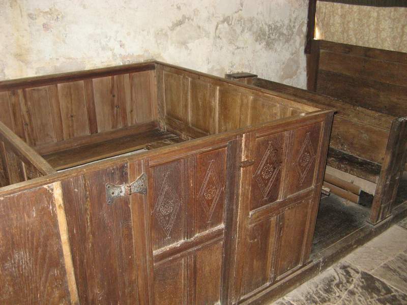
Pews
Moated area
Priest’s Yard
The fishpond
Part of the Estate Plan of 1771